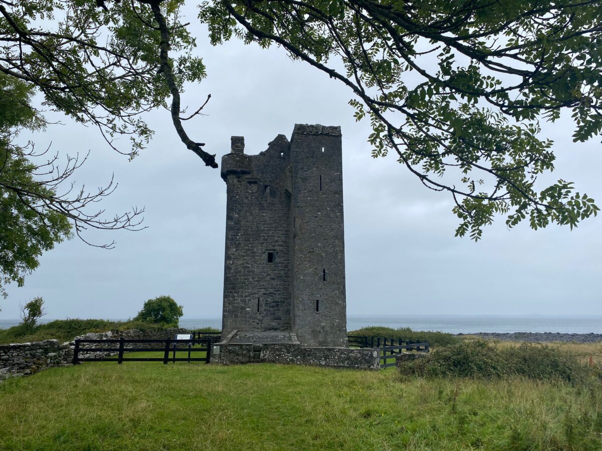
Add your own picture and explain the route, parking, gates, paths or landmarks that help people find it.
Earn 5 points after the picture is checked and accepted.
Add your photo and local directionsShare what you foundWhat is recorded here
On slightly raised overgrown, rough grazing with views from NNW-NE-E, in a multiperiod field system CL005-227004-. This may be a ‘fort’ recorded by Westropp (1911, 371) and mentioned as having a ‘side annexe to the south’.
A subcircular cashel (diams. 26m N-S; 25 E-W) defined from S-W-NNW by an internally and externally faced but loosely built stone wall (H 0.8-1.6m; Wth 1-1.1m) of medium to large flat slabs laid on end, and elsewhere by a bank of stone (Wth 1-2.6m). A small semi-circular stone feature (H 0.4-0.7m) is built onto the inner wall face at SSW. The wall has been replaced or rebuilt in sections and at the time of inspection (1998) was very overgrown.
Compiled by: Gearóid Conroy and Ros Ó Maoldúin
Date of upload: 29-9-2025
The monument record does not grant public access. Check the route and ask the landowner before entering private land.