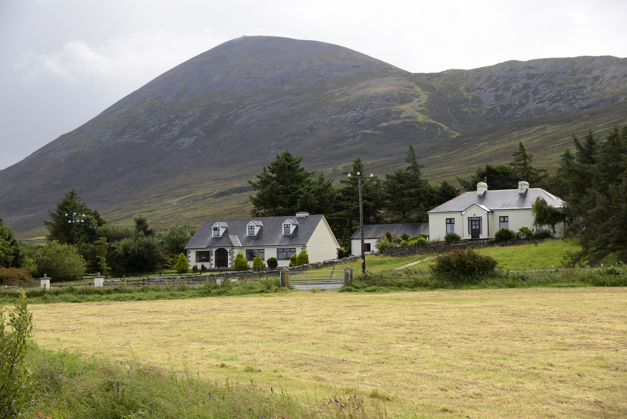
Add your own picture and explain the route, parking, gates, paths or landmarks that help people find it.
Earn 5 points after the picture is checked and accepted.
Add your photo and local directionsShare what you foundWhat is recorded here
On a raised area of rough pasture, within a multiperiod field system( CL005-115001-) and with views to all sides. Indicated on the 1916 ed. of the OS 6-inch map. Listed as ‘Enclosure’ in the RMP (1996). A roughly circular cashel (22.4m E-W; 22m N-S) defined by wall (av. Wth 2.5m; H 0.4-0.8m) of horizontally laid thin slabs with outer facing present all around except from E to SE. No inner wall facing is evident. A section of double wall is present from SSE-SSW. Gaps at E (Wth 1m) and W (Wth 0.6m) may have been created by cattle.
Compiled by: Mary Tunney and Ros Ó Maoldúin
Date of upload: 27 March 2023
The monument record does not grant public access. Check the route and ask the landowner before entering private land.