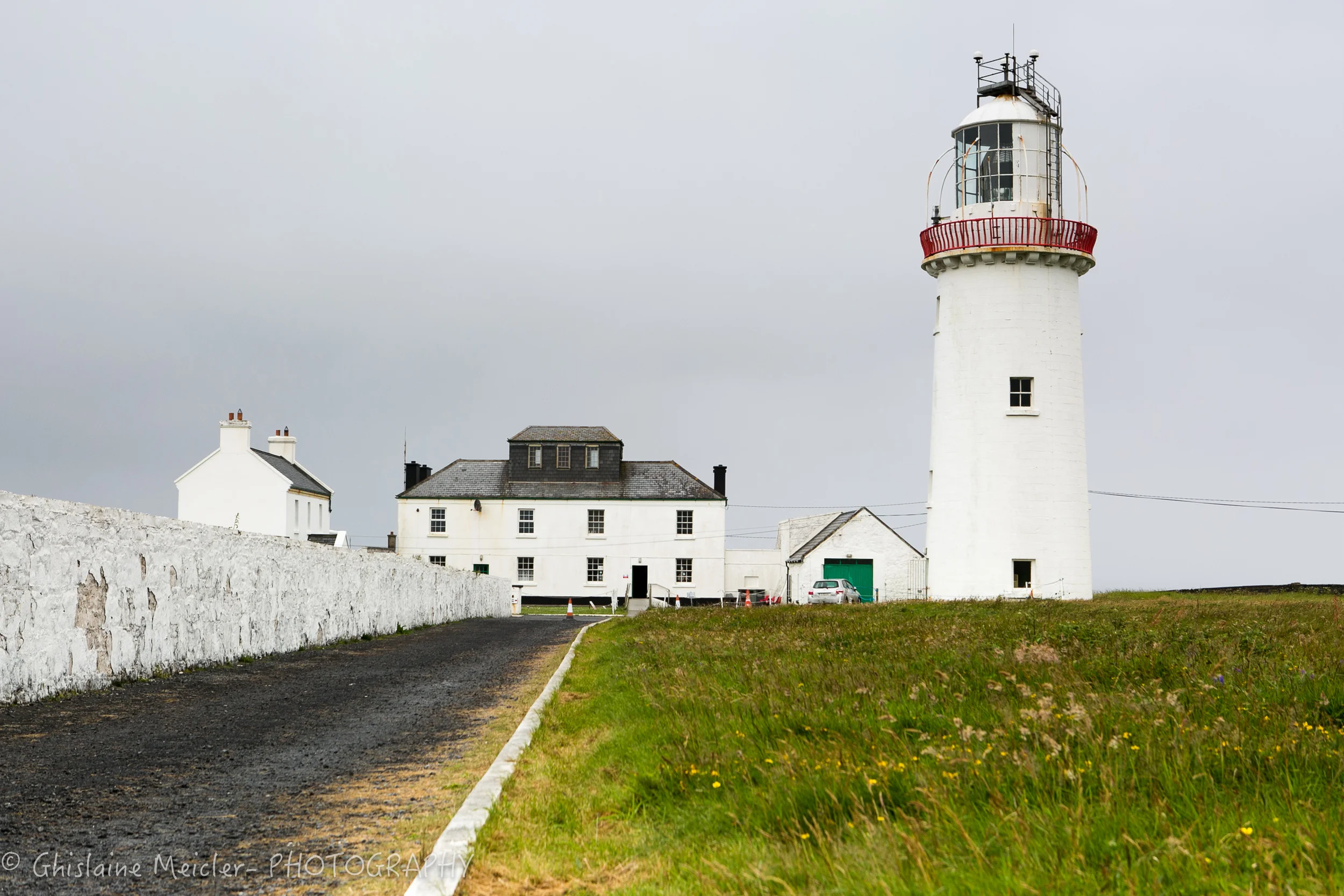
Add your own picture and explain the route, parking, gates, paths or landmarks that help people find it.
Earn 5 points after the picture is checked and accepted.
Add your photo and local directionsShare what you foundWhat is recorded here
On a gentle rise in good pasture overlooked by higher ground to NW and N with commanding views in other directions. Within a large field system (CL008-053001-). Hachured on the 1842 OS 6-inch map and named ‘Cahercloggaun’ on the 1915 edition. The remains of a tower house (CL004-077002-) lie in the SE quadrant.
Described in the OS Letters (1839) as an ancient caher which gave name to the castle and the townland (Comber 1997, 70). The cashel is listed by Fitzpatrick (2009, 302) as one of three ‘cathairs’ associated with late medieval tower houses.
A subcircular cashel (int. dims. 33m N-S; 31m E-W) defined by a roughly coursed drystone wall (Wth 3.2-3.5m; int. H 1.1-1.5; ext. H 2.5-3.1m) composed of regular blocks which form a uniform wall-face. The inner wall-face is constructed from small regular blocks and is best preserved from S to W (max. H 1.5m). The outer wall-face is built on a plinth (H 0.5m) from N to NE and comprises large regular blocks with base-batter at N (H 2.8m) and W (H 3.1m). Cunningham (1980, 47) noted that the walls in the SW ‘are massive, with huge regular blocks, creating upright joints a few feet apart’. The wall is lowest at E (H 0.8m) and missing at SE where the tower house was built. Several low interconnecting banks cross the interior.
Compiled by: Mary Tunney and Lynda McCormack
Date of upload: 13 June 2022
The monument record does not grant public access. Check the route and ask the landowner before entering private land.