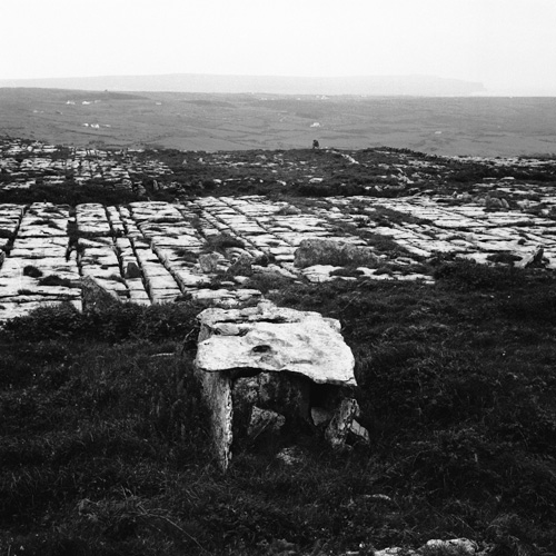
Add your own picture and explain the route, parking, gates, paths or landmarks that help people find it.
Earn 5 points after the picture is checked and accepted.
Add your photo and local directionsShare what you foundWhat is recorded here
On high (above 500’ contour) level, rough grazing overlooking lower, terraced slopes to W, and within an extensive field system (CL004-027001-). Visible on aerial imagery and recorded on current OS mapping. A D-shaped area (est. diam. c. 12m E-W) with a straight W side (est. L c. 15m N-S) defined by a stone wall, which may be overlain by a later field wall along W.
Compiled by: Gearóid Conroy
Date of upload: 10 October 2022
The monument record does not grant public access. Check the route and ask the landowner before entering private land.