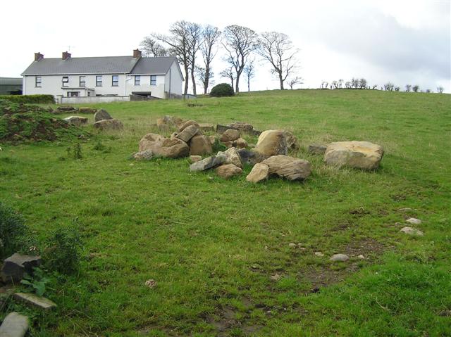
Add your own picture and explain the route, parking, gates, paths or landmarks that help people find it.
Earn 5 points after the picture is checked and accepted.
Add your photo and local directionsShare what you foundWhat is recorded here
On the E portion of the exposed summit of Turlough Hill, in association with a large cluster of hut sites (CL006-017001-) to the N and W that avoid the ‘enclosure’ area and a large cairn (CL006-017002-) at the W end of the summit. A multivallate enclosure or labyrinth-style feature (diam. c. 35m), irregular in plan and comprising four low, partly concentric ‘banks’ (Wth c. 1m; H c. 0.2m) of gravel and slabs, discovered through aerial survey and difficult to see at ground level. The banks are in some parts very fragmentary, poorly defined and overlapping while well defined in others. This is likely to have had a ceremonial function. (Bergh 2008; Berg, Ó Maoldúin and McCarthy 2016)
Compiled by: Mary Tunney
Date of upload: 20 December 2017
The monument record does not grant public access. Check the route and ask the landowner before entering private land.