Add your own picture and explain the route, parking, gates, paths or landmarks that help people find it.
Earn 5 points after the picture is checked and accepted.
Add your photo and local directionsShare what you foundWhat is recorded here
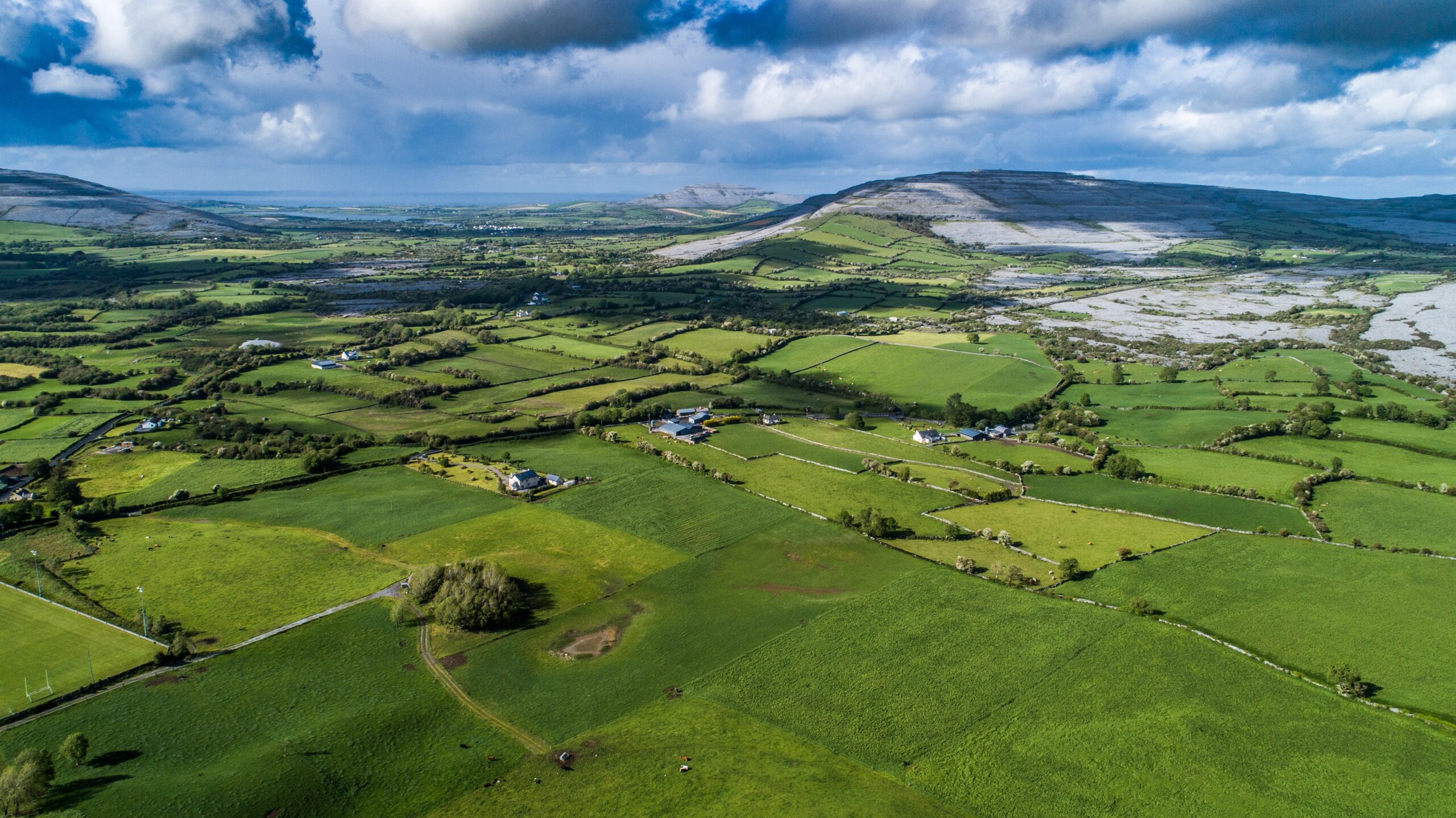
On the W end of a low E–W ridge surrounded by meadowland. Hachured and named ‘Parkmore fort’ on the 1842 and 1915 eds. of the OS 6-inch maps and named ‘Lios Páirc Mhóir’ on Robinson’s map (1977). A poorly preserved subcircular bivallate rath (int. dims. 33m E–W; 32.4m N–S crest to crest) defined by a low, narrow and generally round-topped inner bank (int. H 0.3–0.8m; W 0.6–1.8m crest to crest), a fosse (D 1.4–1.9m from base to crest of inner bank; Wth 5.9–12.4 from crest to crest; D 0.8–1.9m from base to crest of outer bank) and an outer bank (Wth c. 5.5m from inner crest to ext. base), only traceable from NW–SW. The original entrance is just N of E. It survives as a gap (Wth 3.8m) through the inner bank and a corresponding causeway across the fosse. There is no remnant of the outer bank at the entrance. A second gap (Wth 2.9m) occurs in the inner bank just E of S. Westropp (1911) thought this a potential ‘sally-port’. However, there is no corresponding gap or causeway across the fosse, and it may simply be a result of more recent disturbance. The W side of the inner bank is disturbed by a badger sett and a later field wall is built against the outer face of the outer bank, along the N, E and S sides. An inaccessible souterrain (CL003-006002-) lies inside, c. 8.6m NW of centre.
The place-name ‘Pháirc’ denotes ‘a large cleared area associated with an important residential site’ (McInerney 2014a, 167) and Parkmore fort is reputed to have served as the ‘ceann áit’ and ‘house of hospitality’ of the Uí Dhálaigh learned family (McInerney 2014a, 165–9; 2014b, 22). The Uí Dhálaigh traced their descent to the Uí Dhálaigh poets of Meath that established various branches throughout Ireland McInerney 2014a, 165). It may have been through a Cistercian connection, via Boyle in Co. Roscommon, that they came to Finvarra (McInerney 2014a, 167). It is clear they also had a school in or near Parkmore. One early 17th-century reference described it as ‘wealthy and coloured white’ (ibid.). Robinson’s map (1977) marks it on the coast, near a leacht cuimhne (CL003-005----), a monument ascribed to the bardic poet ‘Donncha Mór Ó Dálaigh’ (d. 1244), who tradition says settled at Finavarra. Various references do establish the Uí Dhálaigh were settled there by at least the mid-14th century (McInerney 2014a, 167–8).
Compiled by: Mary Tunney and Ros Ó Maoldúin
Date of upload: 15 December 2020
The monument record does not grant public access. Check the route and ask the landowner before entering private land.