Add your own picture and explain the route, parking, gates, paths or landmarks that help people find it.
Earn 5 points after the picture is checked and accepted.
Add your photo and local directionsShare what you foundWhat is recorded here
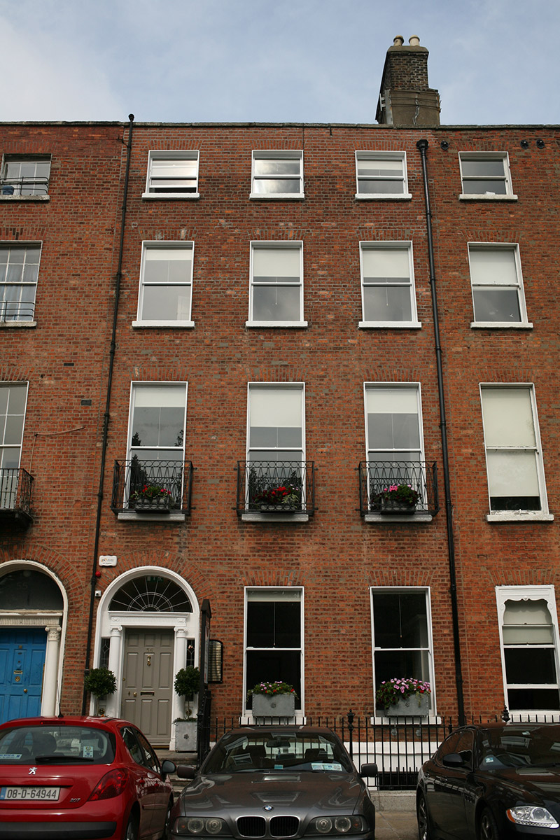
Terraced three-bay four-storey over basement former townhouse, built 1797. Multi-storey return abuts to rear (north) elevation. Now in use as offices. M-profile slate roof, hipped to west and set behind parapet wall with granite coping, cast-iron hopper and downpipe breaking through to east and further cast-iron downpipe to west. Part rendered buff brick chimneystacks with lipped clay pots to east party wall. Red brick walls laid in Flemish bond with cement pointing. Masonry plinth course over rendered basement wall. Gauged brick square-headed window openings with granite sills, patent reveals and replacement one-over-one timber sash windows throughout with horns, replacement steel balconettes to first floor. Gauged brick round-headed door opening with masonry Ionic doorcase comprising square-headed door opening flanked by engaged Ionic columns and leaded sidelights supporting fluted lintel entablature with replacement leaded fanlight. Replacement timber panelled door opens onto shared granite platform and nosed granite steps to street. Platform and basement enclosed by original wrought- and cast-iron railings set on granite plinth wall. Concrete steps provide access to basement. Forming part of a continuous terrace of former townhouses lining north side of Fitzwilliam Square. Recent mews building and boundary wall to north along Pembroke Lane.
This official record and map point do not grant access. Most recorded buildings are privately owned; view them only from public ground unless the owner allows entry.