Add your own picture and explain the route, parking, gates, paths or landmarks that help people find it.
Earn 5 points after the picture is checked and accepted.
Add your photo and local directionsShare what you foundWhat is recorded here
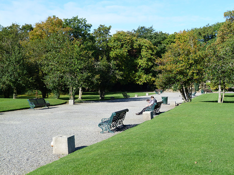
Formalized public park, laid out c. 1865, on site of earlier garden. Lawned throughout with geometric gravel avenues, interspersed with mature planting and boulder-strewn mounds. Central avenue on east-west axis flanked by formal parterres with fountains, and terminated at west end by rockwork fountain (restored 1996), with round-headed rockwork arches to north and south. Sunken former archery ground to north end, with site of former boating lake and boating tower to northeast corner (site of these now located within boundary of Iveagh House (50920264 & 3). Circular rose garden to south end and yew maze to southwest corner, with sundial. Some statues of classical gods and naiads remain. Elliptical path to east end follows outline of former terrace. Site bounded by red brick walls laid in Flemish bond over snecked limestone plinth, topped with granite coping and cast-iron railings. Mild steel pedestrian gate to south end on Hatch Street. Snecked quarry-faced limestone wall with dressed granite coping, to eastern boundary, western boundary on Stable Lane lined with wall of random limestone rubble. Mid-nineteenth-century cast-iron vehicular entrance gates to western boundary on Clonmel Street with square-profile rendered piers, rising to carved granite capstones with moulded cornices, abutted by rubble stone walls.
This official record and map point do not grant access. Most recorded buildings are privately owned; view them only from public ground unless the owner allows entry.