Add your own picture and explain the route, parking, gates, paths or landmarks that help people find it.
Earn 5 points after the picture is checked and accepted.
Add your photo and local directionsShare what you foundWhat is recorded here
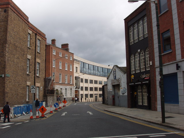
Corner-sited ten-bay three-storey office block over basement, built c. 1845, having double-pile with shorter wing to east, stepping in at north and south ends. Main block presents blank elevation to Stephen Street Upper and its recessed return is two-bay. Single-bay red brick extensions at southeast and northeast. Hipped slate roofs concealed behind parapets, having blue/black clay angle ridge and hip tiles, central north/south valley between roofs, and brick chimneystack to ridge of east block. Yellow brick Flemish bond walling generally, with later alterations in red brick, including parapet with concrete coping and extensions to east, and tooled ashlar limestone plinth walling to basement with chamfered cap. Square-headed window openings, doubled to one bay of south elevation, having granite sills, rubbed yellow brick voussoirs and timber six-over-six pane sliding sash windows, with metal grilles to ground floor of rear elevation. Metal fire escape in corner between east elevation of east block and north elevation of single-bay return. Coursed and tooled ashlar limestone gate screen to Stephen Street Upper, having sweep walls on chamfered plinth with saddle-back flush copings, square piers with simple caps, and vertically sheeted timber gates opening to yard to north.
This official record and map point do not grant access. Most recorded buildings are privately owned; view them only from public ground unless the owner allows entry.