Add your own picture and explain the route, parking, gates, paths or landmarks that help people find it.
Earn 5 points after the picture is checked and accepted.
Add your photo and local directionsShare what you foundWhat is recorded here
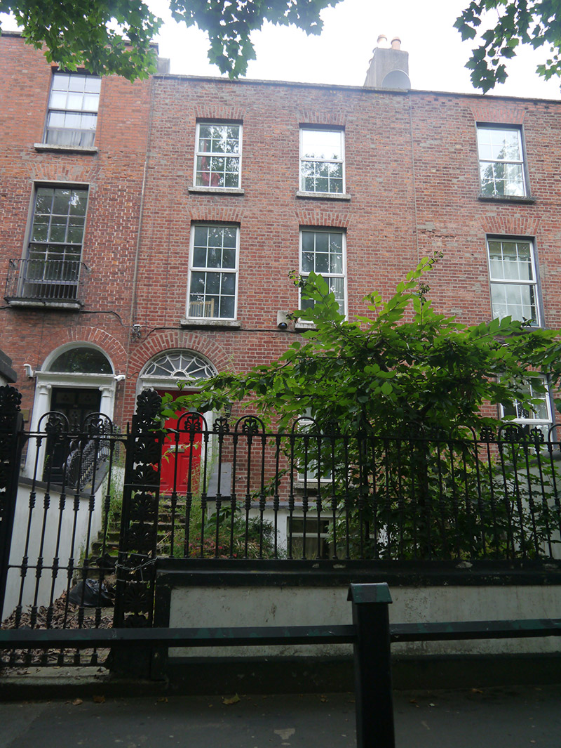
Terraced two-bay three-storey house over basement, built c. 1790, with single-storey return to rear. Vacant at time of survey (August 2018). M-profile pitched slate roof with clay ridge tiles, concealed by brick parapet with stone coping; two rendered masonry chimneystacks to party wall with yellow clay pots. Red brick walling, laid in Flemish bond, over granite plinth course and smooth-rendered basement walling. Square-headed window openings with brick jack-arches, plain reveals, granite sills and replacement uPVC windows. Round-headed doorway with brick voussoirs, plain reveals, painted masonry doorcase comprising engaged Ionic columns, fluted entablature and cornice, iron cobweb fanlight, and replacement timber six-panel raised-and-fielded door, accessed by flight of eight stone steps flanked by rendered masonry walls with stone copings and having wrought-iron railings to south with decorative cast-iron finials and hoops. Garden to front, enclosed to street by wrought-iron railings with decorative cast-iron hoops and foliate finials over rendered plinth walling with granite coping, accessed by full-height wrought-iron pedestrian gate hung from cast-iron piers with foliate detail and palmette finials, attached to masonry pier shared with adjoining property to south. Enclosed garden to rear. Located on tree-lined section of Drumcondra Road Lower.
This official record and map point do not grant access. Most recorded buildings are privately owned; view them only from public ground unless the owner allows entry.