Add your own picture and explain the route, parking, gates, paths or landmarks that help people find it.
Earn 5 points after the picture is checked and accepted.
Add your photo and local directionsShare what you foundWhat is recorded here
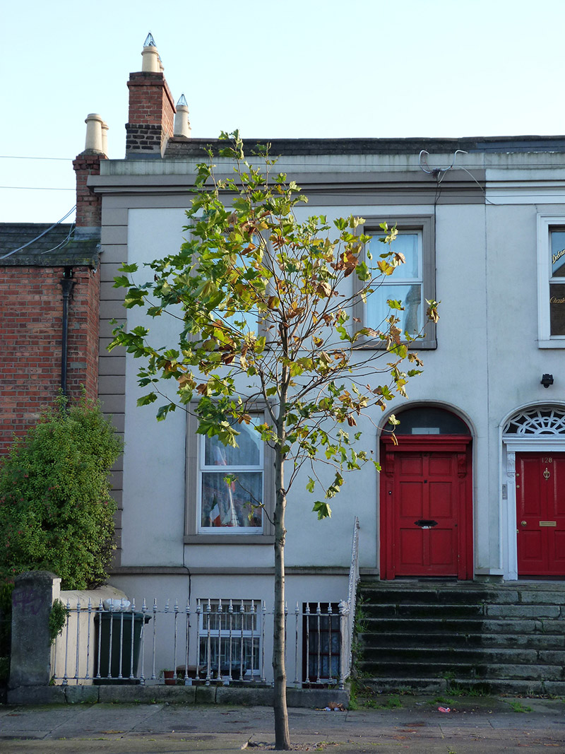
End-of-terrace two-bay two-storey house over raised basement, built c. 1830 as one of four, having return to rear (southeast) elevation. M-profile pitched slate roof with black clay ridge tiles, hipped to southwest end to rear span, hidden behind rendered parapet having moulded render cornice and eaves course, having brick chimneystacks with clay pots to northeast end. Rendered walling to front elevation, with render quoins to northeast end, on masonry plinth course over basement walling, and rendered to rear. Square-headed window openings with masonry sills, moulded render architraves to ground and first floors to front, and replacement uPVC frames throughout. Elliptical-headed doorway with moulded render surround, timber doorcase comprising panelled pilasters with scrolled consoles supporting panelled frieze and stepped cornice, plain fanlight, and replacement timber door. Entrance approached by flight of seven granite steps and platform, shared with neighbour, having decorative cast-iron coal-hole cover. Cast-iron railings on cut granite plinth wall flanking steps and enclosing basement area.
This official record and map point do not grant access. Most recorded buildings are privately owned; view them only from public ground unless the owner allows entry.