Add your own picture and explain the route, parking, gates, paths or landmarks that help people find it.
Earn 5 points after the picture is checked and accepted.
Add your photo and local directionsShare what you foundWhat is recorded here
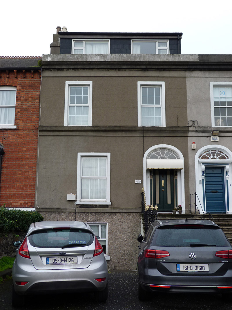
Terraced two-bay two-storey former house over raised basement, built c. 1845 as one of five, with recent attic accommodation, and having return to rear (north) elevation. Now in use as offices. Pitched artificial slate roof, with flat-roofed dormer window to front elevation, rendered chimneystack to west end with clay pots, hidden behind rendered parapet having moulded render cornice and eaves course. Ruled-and-lined rendered walling to front, with moulded render platband at first floor sill level, and moulded render plinth course over pebbledashed walls to basement. Square-headed window openings with moulded render architraves to ground and first floors, raised render reveals to basement, masonry sills to basement and ground floor and continuous moulded render sill course to first floor, all openings having replacement uPVC frames. Elliptical-headed doorway with moulded render surround, carved timber doorcase comprising panelled pilasters with scrolled brackets supporting timber frieze and leaded fanlight with some hand-painted glass, and timber panelled door. Entrance approached by shared flight of ten nosed granite steps, having half-landing with decorative cast-iron bootscrape and decorative cast-iron railings with ornate end panel to one side, and wrought-iron handrail to other. Garden and carparking to front, bounded by rubble limestone wall to west and partly by panelled rendered wall to footpath with granite coping and rendered pier to front boundary.
This official record and map point do not grant access. Most recorded buildings are privately owned; view them only from public ground unless the owner allows entry.