Add your own picture and explain the route, parking, gates, paths or landmarks that help people find it.
Earn 5 points after the picture is checked and accepted.
Add your photo and local directionsShare what you foundWhat is recorded here
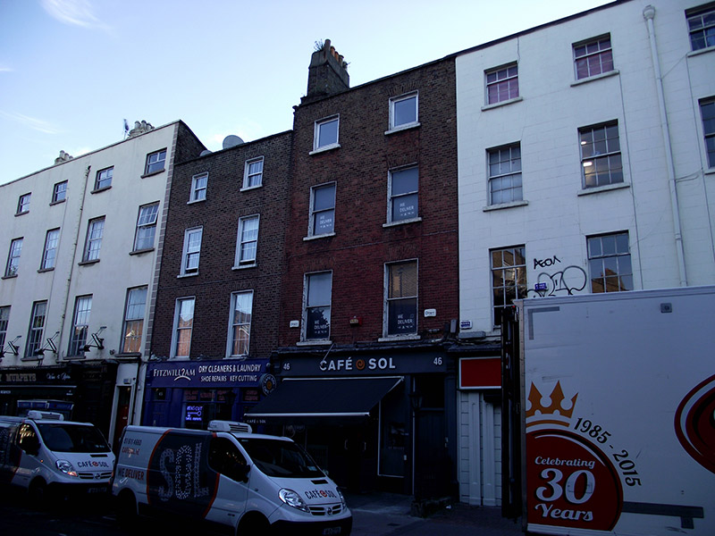
Attached two-bay four-storey former house, built c. 1830 as one of pair with No. 47, with two-storey return to rear. Now in use as café with recent timber shopfront to ground floor, and offices above. M-profile roof, hipped to east end, behind brick parapet with masonry coping and parapet gutters, and having brick chimneystack to west with rendered upper section and various pots. Flemish bond brick walling, brown to top floor and red to lower floors to front; rendered to rear. Square-headed window openings, diminishing in height to upper floors, having rendered reveals, painted masonry sills and brick voussoirs. Replacement uPVC windows to top floor, and one-over-one pane timber sliding sash windows to lower floors with ogee horns; possibly timber sash windows to rear. Doorway to east end gives access to upper floors. Shopfront flanked by arrow-headed railings over rendered masonry plinths, with recent decorative metal lamp standards.
This official record and map point do not grant access. Most recorded buildings are privately owned; view them only from public ground unless the owner allows entry.