Add your own picture and explain the route, parking, gates, paths or landmarks that help people find it.
Earn 5 points after the picture is checked and accepted.
Add your photo and local directionsShare what you foundWhat is recorded here
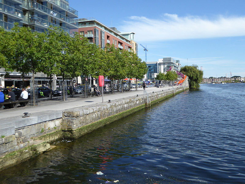
Quayside, built c. 1790, lining north side of Grand Canal Docks. Coursed and dressed calp limestone walls with matching coping having rounded upper edge; recessed section having in-built granite steps descending to water. Quay hard standings replaced in recent years, having copings lined to north with cobble-trim and recent masonry paving. Cast-iron mooring posts affixed to coping stones, and modern lighting affixed to recent cobbles. Forms north part of deep-water Grand Canal Docks at south side of River Liffey, to southwest of where it meets River Dodder. Docks enclosed by adjoining Grand Canal Quay to west and Charlotte Quay to east, with McCartney Bridge spanning south end of docks. Recent large-scale developments lining quay; some industrial buildings remaining, including former industrial structures to northeast and northwest.
This official record and map point do not grant access. Most recorded buildings are privately owned; view them only from public ground unless the owner allows entry.