Add your own picture and explain the route, parking, gates, paths or landmarks that help people find it.
Earn 5 points after the picture is checked and accepted.
Add your photo and local directionsShare what you foundWhat is recorded here
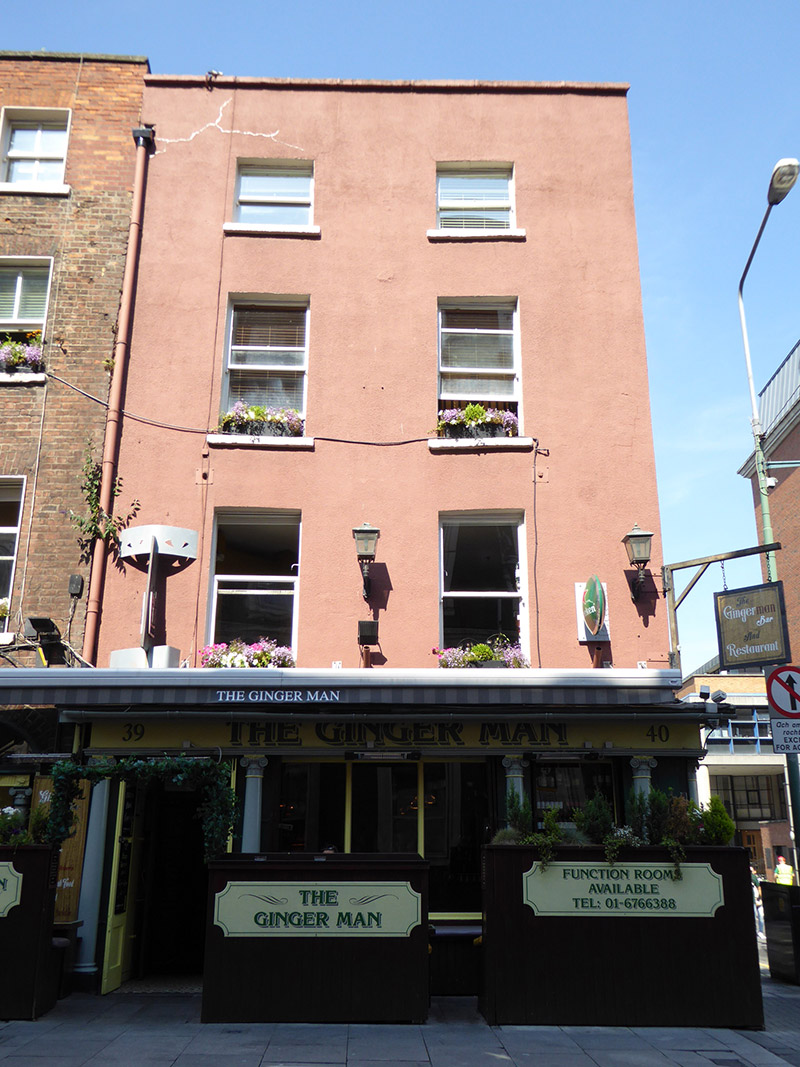
Corner-sited two-bay four-storey former house, built c. 1790, having four-bay side (east) elevation, and slightly lower three-storey flat-roofed return. Now in use as public house, with pubfront of c. 1910. M-profile pitched slate roof with two gables to east (side) elevation, behind parapet with painted masonry copings, parapet gutters; replacement uPVC downpipes. Painted rendered walling, with section of painted tongue-and-groove timber cladding to ground floor of side elevation. Square-headed window openings, diminishing in height to upper floors, having rendered reveals and painted masonry sills. Recent one-over-one pane timber sliding sash windows with ogee horns, and with single replacement uPVC window to east side of return. pubfront has wraparound fascia with hand-painted signage and leaded cornice, over Adamesque Ionic columns flanking square-headed openings with timber display windows having nail-headed painted masonry aprons, projecting plinth course, east windows recessed and concealed behind painted timber-sheeted shutters. Square-headed door openings to main block and segmental-headed to return, latter with projecting rendered architrave and keystone; double-leaf timber doors with nail-headed panels; recessed openings to east accessed by recent tiled steps. Steel trapdoor over basement opening to east elevation. Recent awning over ground floor to south elevation; recent hand-painted and fixed signage to east elevation. Building interlinked with No. 39 to west.
This official record and map point do not grant access. Most recorded buildings are privately owned; view them only from public ground unless the owner allows entry.