Add your own picture and explain the route, parking, gates, paths or landmarks that help people find it.
Earn 5 points after the picture is checked and accepted.
Add your photo and local directionsShare what you foundWhat is recorded here
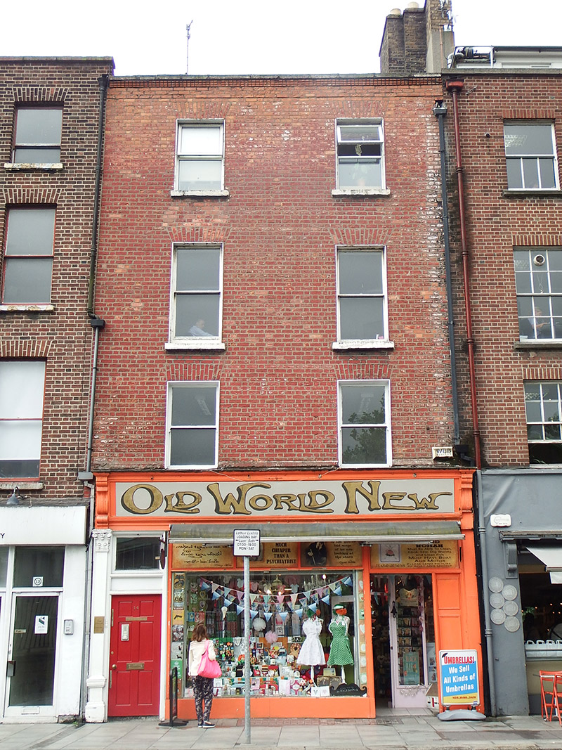
Attached two-bay four-storey over basement former house, built c. 1760, with abutments and yard to rear. Modified c. 1820-30 and c. 1880. Now in retail use, with offices above. M-profile hipped roof, running perpendicular to street, behind red brick parapet with gauged brick cornice and masonry coping over three slightly projecting courses, and having further linking hipped roof at mid-point; buff brick chimneystack to west end with yellow clay pots; and mix of cast-iron and replacement rainwater goods, with uPVC hoppers and downpipes breaking through to each end of front elevation. Flemish bond red brick walling to upper floors. Square-headed window openings, diminishing in height to upper floors, with brick voussoirs, painted masonry sills, patent reveals and one-over-one pane timber sliding sash windows, those to first floor having ogee horns, and with replacement uPVC windows to top floor. Early twentieth-century shopfront has surviving moulded cornice and fascia with fluted console brackets and recent painted lettering, painted timber pilaster to east end with naive composite capital and decorative plinth, replacement pilaster to west. Recent display window and shop door with glazed overlights. Square-headed doorway to east end serving upper floors has recent panelled timber door and overlight. Basement lit by cast-iron pavement lights.
This official record and map point do not grant access. Most recorded buildings are privately owned; view them only from public ground unless the owner allows entry.