Add your own picture and explain the route, parking, gates, paths or landmarks that help people find it.
Earn 5 points after the picture is checked and accepted.
Add your photo and local directionsShare what you foundWhat is recorded here
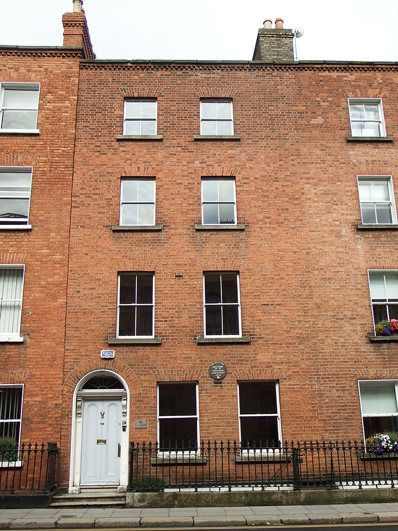
Attached four-storey former house over basement, built c. 1760, rebuilt c. 1870, having three-bay ground floor and two-bay upper floors, and with two-storey abutment to south end of rear. Now in use as offices. Slate roof, comprising hipped roof to middle, narrower hipped roof to north and shared with No. 31, and single-pitched roof to south, behind red brick parapet with stone coping, and having header brick course over cogged course. Large buff brick chimneystack to north party wall, and red brick chimneystack to south with corbelling and cogged course, both having yellow clay pots. Concealed rainwater goods. Flemish bond red brick walling, with painted render to basement having painted masonry coping above. Square-headed windows openings, diminishing in height to upper floors, with painted masonry sills and brick voussoirs. Timber sliding sash windows with horns, one-over-one pane to ground floor and two-over-two pane to upper floors, and six-over-three pane with cast-iron railings to basement. Round-headed entrance door with brick voussoirs, moulded surround, scrolled foliate consoles supporting moulded cornice, batwing fanlight, and panelled timber door with round-topped panels. Masonry entrance platform, having two steps to street, and with decorative cast-iron boot-scrape. Basement area enclosed by decorative cast-iron railings on granite plinth, replaced 1915.
This official record and map point do not grant access. Most recorded buildings are privately owned; view them only from public ground unless the owner allows entry.