Add your own picture and explain the route, parking, gates, paths or landmarks that help people find it.
Earn 5 points after the picture is checked and accepted.
Add your photo and local directionsShare what you foundWhat is recorded here
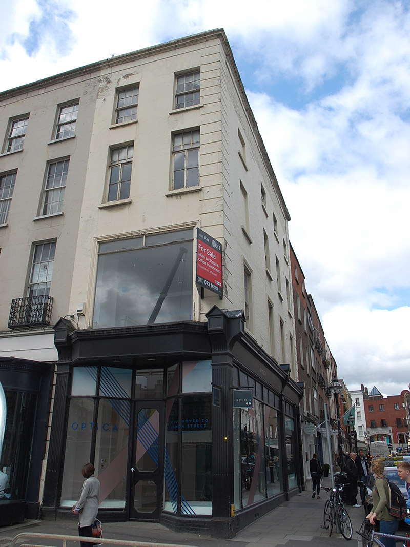
Corner-sited two-bay four-storey former house, built c. 1720 as north end-of-terrace of three (Nos. 51A-51C), remodelled c. 1830, having four-bay side elevation to Duke Street, and having wraparound shopfront to both elevations; fully abutted to rear. Now disused. Pitched slate roof concealed by rendered parapet with moulded stone coping. Chimneystack to east of centre shared with adjoining building to south; concealed rainwater goods. Painted ruled-and-lined rendered walling to front elevation and painted brick to side elevation, with channelled stucco quoins and plain frieze. Square-headed window openings, diminishing in height, with painted masonry sills, moulded architraves to first floor of side elevation. Variety of timber windows, front elevation having six-over-six pane sliding sash to top floor, double casements with three-pane toplights to second floor and full-width fixed window with moulded frame to first floor; side elevation has blind openings to top two floors of east bay, one double casement to top floor of next bay, margined coloured glass to fixed two-over-two pane to first floor of same bay, three-over-three pane elsewhere to top floor and six-over-six pane sliding sash to remainder of elevation. Early twentieth-century shopfront, modified c. 1980, having black brick stall-risers, timber display windows with turned transoms; remainder is replacement fabric.
This official record and map point do not grant access. Most recorded buildings are privately owned; view them only from public ground unless the owner allows entry.