Add your own picture and explain the route, parking, gates, paths or landmarks that help people find it.
Earn 5 points after the picture is checked and accepted.
Add your photo and local directionsShare what you foundWhat is recorded here
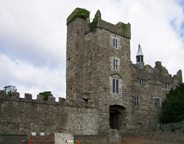
Rectangular-plan moat, built c.1400, repaired c.1990, forming protective defence around Drimnagh Castle grounds. Entrance bridge spanning moat, built c.1780, replacing earlier drawbridge structure. Castellated walls of the castle and yard, constructed from local calp limestone and featuring battered buttresses. Stone platform east of the undercroft allowing access to moat via stone steps. Early twentieth-century castellated walls, built c.1904, having openings with brick detailing and pediments, enclosing coach house to south. Steel bridge spanning moat leading to coach house from Drimnagh Castle school grounds. Fed by the Bluebell stream, enclosing castle, courtyard, gardens, stable buildings, work yard, and coach house. Draining into Lansdowne Valley via sluice gate.
This official record and map point do not grant access. Most recorded buildings are privately owned; view them only from public ground unless the owner allows entry.