Add your own picture and explain the route, parking, gates, paths or landmarks that help people find it.
Earn 5 points after the picture is checked and accepted.
Add your photo and local directionsShare what you foundWhat is recorded here
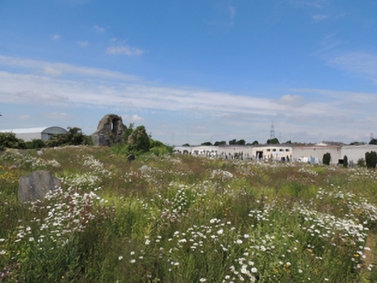
Enclosed irregular-plan graveyard, consisting of early graveyard with thirteenth-century church to south, extended to north 1905. Roofless ruinous remains of medieval rubble limestone church, having surviving gable, rubble stone walls, square-headed window opening with chamfered reveals and rubble stone voussoirs to interior, pointed arch door opening with rubble stone voussoirs. Poured concrete paths to later graveyard, converging in centre with limestone shaft. Rock-faced rusticated circular-profile limestone shaft, having cross motif and string courses, set on octagonal-profile plinth. Rubble limestone boundary walls with gateway to south-east corner, having square-profile tooled limestone piers with double-leaf cast-iron gates, giving onto laneway to south to Old Naas Road. Rendered gate piers with cast-iron posts to south end of lane.
This official record and map point do not grant access. Most recorded buildings are privately owned; view them only from public ground unless the owner allows entry.