Add your own picture and explain the route, parking, gates, paths or landmarks that help people find it.
Earn 5 points after the picture is checked and accepted.
Add your photo and local directionsShare what you foundWhat is recorded here
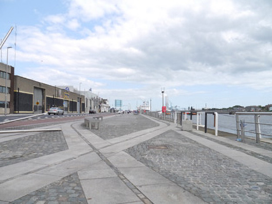
Stone quay, built c.1800, in two section, located between Sean O'Casey Bridge and East Link bridge. Mixed cobbled, granite, sandstone and resin-bonded gravel marking modern landscaped paving scheme. Remains of old railway tracks remain embedded within paving scheme to eastern section. Steps and ramps with granite nosed boundary stones to road side. Bounded by modern steel railings. Contemporary developments and original warehouses to inner portion of quayside.
This official record and map point do not grant access. Most recorded buildings are privately owned; view them only from public ground unless the owner allows entry.