Add your own picture and explain the route, parking, gates, paths or landmarks that help people find it.
Earn 5 points after the picture is checked and accepted.
Add your photo and local directionsShare what you foundWhat is recorded here
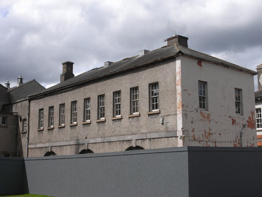
Attached nine-bay two-storey map store to Ordnance Survey of Ireland, built 1891, now in use as offices, having single-bay lean-to addition to south end. Pitched slate roof with brick chimneystacks, one stepped, and cast-iron rainwater goods. Roughcast rendered walls to east elevation with limestone ashlar plat-band between floors and painted rendered walls to rear and side elevations. Six-over-six pane timber sliding sash windows to first floor and three stepped arches to ground floor with limestone keystones meeting plat-band. Rear elevations have mixture of single-pane timber sash windows and replacement timber casement windows, and addition has geometrical glazing to first floor window, with stone sills.
This official record and map point do not grant access. Most recorded buildings are privately owned; view them only from public ground unless the owner allows entry.