Add your own picture and explain the route, parking, gates, paths or landmarks that help people find it.
Earn 5 points after the picture is checked and accepted.
Add your photo and local directionsShare what you foundWhat is recorded here
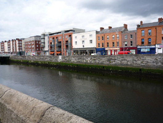
Ashlar evenly coursed stugged granite quay wall, built c.1820, located to north bank of River Liffey between Rory O'More Bridge to west and Mellows Bridge to east, intersected by Samuel Beckett Bridge c.2003. Wrought-iron ladders from top of parapet to river bed in both sections, wall painted white behind ladder. Square flood-release openings of varying sizes sporadically located along length of quay. Top coping with humpback profile stepping down to central bridge. Concrete slab pavement to north side with square-profile granite kerb to bitmac roadway, with slight cant towards west end.
This official record and map point do not grant access. Most recorded buildings are privately owned; view them only from public ground unless the owner allows entry.