Add your own picture and explain the route, parking, gates, paths or landmarks that help people find it.
Earn 5 points after the picture is checked and accepted.
Add your photo and local directionsShare what you foundWhat is recorded here
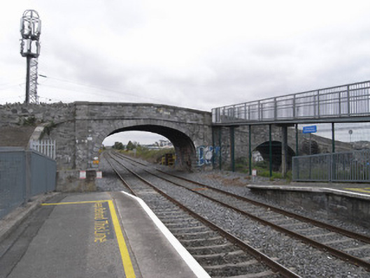
Two-arch limestone canal bridge of c.1790 and railway bridge of c.1845, carrying Broombridge Road on north-south axis over Royal Canal (north) and Dublin-Sligo railway line (south). Random coursed squared calp limestone walls with shallow piers flanking each arch having limestone ashlar plat-band to base of parapets and limestone ashlar coping. Elliptical arch to train bridge has rusticated limestone ashlar voussoirs and skewed squared calp soffit. Round arch to canal bridge has tooled limestone voussoirs and keystone with squared calp soffit. Canal bridge has Portland limestone plaque to northwest spandrel with inscription commemorating formula for quaternions devised by William Rowan Hamilton. Rubble stone embankment walls to either end have stacked coping. Break in east parapet provides access to steel footbridge to Broombridge Station. Tarmac carriageway follows steep gradient to both north and south approaches.
This official record and map point do not grant access. Most recorded buildings are privately owned; view them only from public ground unless the owner allows entry.