Add your own picture and explain the route, parking, gates, paths or landmarks that help people find it.
Earn 5 points after the picture is checked and accepted.
Add your photo and local directionsShare what you foundWhat is recorded here
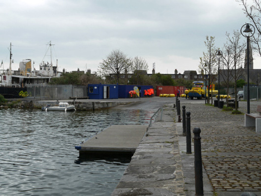
Former graving dock, built 1796, infilled and used as boat slipway, c.1850. Cut limestone retaining walls. Recent concrete paving and slip ramp. Rubble limestone enclosing wall to south, having recent concrete to upper level. Gate opening to south side with coursed calp limestone rubble wall on east side of opening with recent concrete piers and metal gates. Former gate opening to east side having brown brick surrounds with castellated limestone capping stones, now infilled with concrete block, within calp limestone rubble wall. Situated on east side of Grand Canal Basin and north end of South Docks Road.
This official record and map point do not grant access. Most recorded buildings are privately owned; view them only from public ground unless the owner allows entry.