Add your own picture and explain the route, parking, gates, paths or landmarks that help people find it.
Earn 5 points after the picture is checked and accepted.
Add your photo and local directionsShare what you foundWhat is recorded here
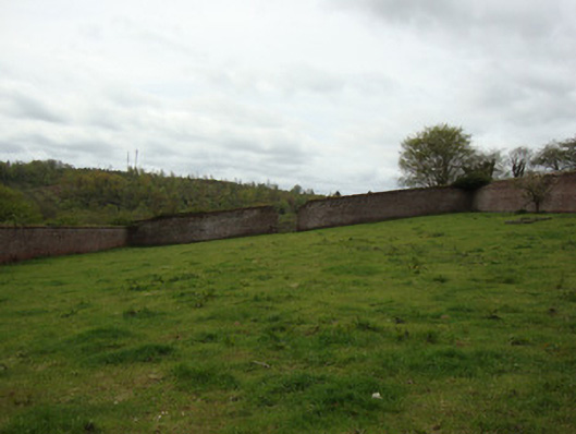
Rectangular-plan walled garden, built c.1840, now disused. Coursed rubble limestone walls to exterior, having red brick header-bond copings. Red brick lining in double Flemish garden wall bond to interior walls. Gauged-brick square-headed door opening to centre of west elevation, with block-and-start red brick surround. Gauged-brick segmental-headed door opening to centre of east elevation. Evidence of segmental arch to centre of north wall, now blocked up. Full-height break to middle of south wall. Small lean-to structure to interior of east elevation, with cement rendered walls, cast-iron rainwater goods, corrugated-iron roof, and square-headed openings. Five-bay two-storey farmhouse to north-west, still in residential use. Lean-to former stable buildings to north of walled garden. Ruins of former chicken house to west of walled garden with coursed rubble limestone walls having cut-stone quoins, brick surrounds to door openings, and corrugated-iron roof. Cast-iron gate piers to south-west identify entrance to former burial ground. Concrete plinth to south-west said to be former bell tower.
This official record and map point do not grant access. Most recorded buildings are privately owned; view them only from public ground unless the owner allows entry.