Add your own picture and explain the route, parking, gates, paths or landmarks that help people find it.
Earn 5 points after the picture is checked and accepted.
Add your photo and local directionsShare what you foundWhat is recorded here
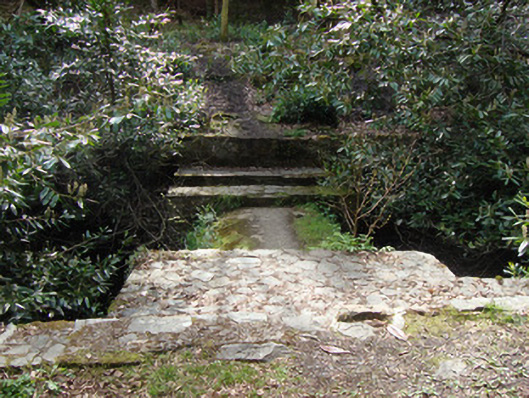
Hydraulic dam and ram, constructed c.1880. No longer in use. Coursed rubble and cut limestone walls to channel to south of concrete, hemispherical dam wall, and to walls of channel leading to drop to lower level of river to east. Coursed rubble limestone walls to north-east containing square-headed opening with wrought-iron gate in abutment wall. Associated hydraulic ram (not accessible at time of survey) believed to be contained within abutment wall. Rubble stone steps to lower level of river from north-east bank. Series of former sluice gates from west and south-west. Coursed rubble sluice wall, some with socket for timber sluice gate, some with remains of wrought-iron sluice gate fixings. Dam located to south-east of remains of Rossmore Castle and walled garden, on bend of river flowing from west to north.
This official record and map point do not grant access. Most recorded buildings are privately owned; view them only from public ground unless the owner allows entry.