Add your own picture and explain the route, parking, gates, paths or landmarks that help people find it.
Earn 5 points after the picture is checked and accepted.
Add your photo and local directionsShare what you foundWhat is recorded here
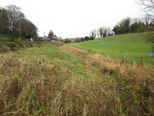
Disused section of Ulster Canal, built c.1840. Consists of approximately three hundred metres of overgrown canal channel from concrete culvert at south-west end which provides access to field from Cavan Road at townland boundary between Crossmoyle and Teehill, past restored Ulster Canal Stores building where there is another overgrown concrete culvert to marshy area north-east of these structures. Water level of narrow channel appears to be mostly around one metre below surrounding banks but has had section of north-western bank raised to facilitate car parking area for Canal Stores facility. Former harbour in front of Stores building has also been filled in level with bank on opposite south side of canal. No historic masonry or features visible on this stretch of canal. Remains of single circular-plan stone pier holding wrought-iron field gate onto former roadway abandoned when canal was constructed directly opposite existing Canal Stores building.
This official record and map point do not grant access. Most recorded buildings are privately owned; view them only from public ground unless the owner allows entry.