Add your own picture and explain the route, parking, gates, paths or landmarks that help people find it.
Earn 5 points after the picture is checked and accepted.
Add your photo and local directionsShare what you foundWhat is recorded here
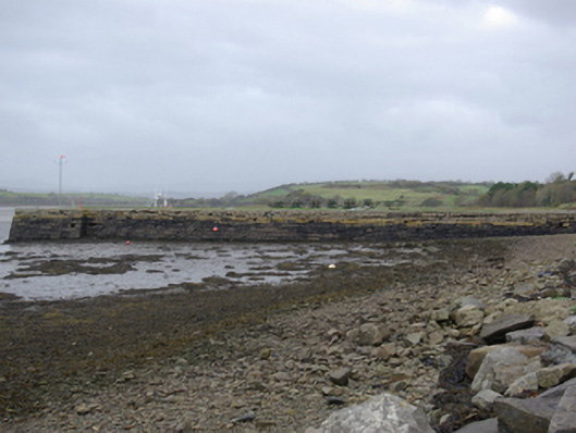
Pier/jetty, erected c. 1840, having slightly battered roughly squared and coursed rubble stone walls. Still in use, altered c. 1990. Concrete coping with salvaged iron rope/tie rings at intervals. Concrete deck with grass sections close to west end. Wrought-iron anchor to deck. Flights of cut stone steps providing access to water level to the north and south elevations. Pier juts out into Donegal Bay to the east of Murvagh Sandspit, and to the south of Donegal Town. Rubble stone quay walls to either side.
This official record and map point do not grant access. Most recorded buildings are privately owned; view them only from public ground unless the owner allows entry.