Add your own picture and explain the route, parking, gates, paths or landmarks that help people find it.
Earn 5 points after the picture is checked and accepted.
Add your photo and local directionsShare what you foundWhat is recorded here
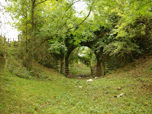
Single-arch former railway accommodation bridge, built c. 1863, carrying farm access road over the former Strabane to Stranorlar section of the Derry (Victoria Road) to Killybegs railway line. Rock-faced squared and coursed rubble stone battered piers to either side of bridge, flanking arch. Railway lines now out of use with tracks removed (c. 1960). Segmental-headed arch having rock-faced voussoirs with drafted margins; squared rubble stone construction to arch barrel. Squared and coursed rubble stone construction to spandrels and parapets; rock-faced quoins to base of arch having drafted margins. Roughly squared and coursed rubble limestone masonry to parapets with rock-faced coping over. Parapets now overgrown. Mud deck with vegetation to centre and margins. Located to the west of Castlefinn, and a short distance to the north of the River Finn.
This official record and map point do not grant access. Most recorded buildings are privately owned; view them only from public ground unless the owner allows entry.