Add your own picture and explain the route, parking, gates, paths or landmarks that help people find it.
Earn 5 points after the picture is checked and accepted.
Add your photo and local directionsShare what you foundWhat is recorded here
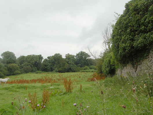
Walled garden associated with Castle Wray (now ruinous, see 40905304) on rectangular-plan, erected c. 1790. Now partially in use as farmland. High rubble stone boundary walls with rubble stone coping over with modern cement repairs in places. Integral square-headed pedestrian entrance to the south-west corner with remains of battened timber door. Located to the north of the site of Castle Wray, and to the north-east of Letterkenny a short distance to the west of the shores of Lough Swilly. Remains of additional walled garden to the adjacent to the west (see 40905330). Remains of rubble stone outbuildings to the south-west. Single-arched rubble stone bridge (see 40905384) over stream to the south-west of walled garden.
This official record and map point do not grant access. Most recorded buildings are privately owned; view them only from public ground unless the owner allows entry.