Add your own picture and explain the route, parking, gates, paths or landmarks that help people find it.
Earn 5 points after the picture is checked and accepted.
Add your photo and local directionsShare what you foundWhat is recorded here
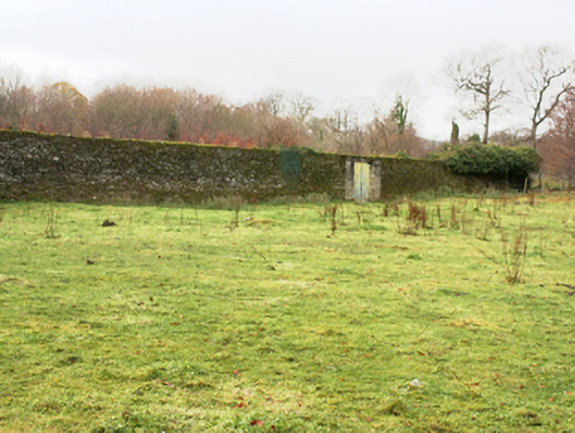
Walled garden associated with Castlegrove (see 40905409) on sub-rectangular plan having canted corner to the north, erected c. 1790. Now partially in use as farmland. High rubble stone boundary walls with rubble stone coping over with modern cement repairs in places. Integral square-headed pedestrian entrance to north-east with battened timber door and linear path consisting of square limestone paving. Square-headed vehicular entrance to north-east with battened timber double-doors. Detached four-bay two-storey gardener’s cottage to north, with pitched artificial slate roof with replacement fascia, soffit and rainwater goods, and rendered chimneystacks to gables. Painted rendered walls with plinth course. Square-headed window openings with replacement windows and painted stone sills. Square-headed door opening with replacement timber door. Located to the south-west of Castlegrove, and to the north-east of Letterkenny a short distance to the west of the shores of Lough Swilly.
This official record and map point do not grant access. Most recorded buildings are privately owned; view them only from public ground unless the owner allows entry.