Add your own picture and explain the route, parking, gates, paths or landmarks that help people find it.
Earn 5 points after the picture is checked and accepted.
Add your photo and local directionsShare what you foundWhat is recorded here
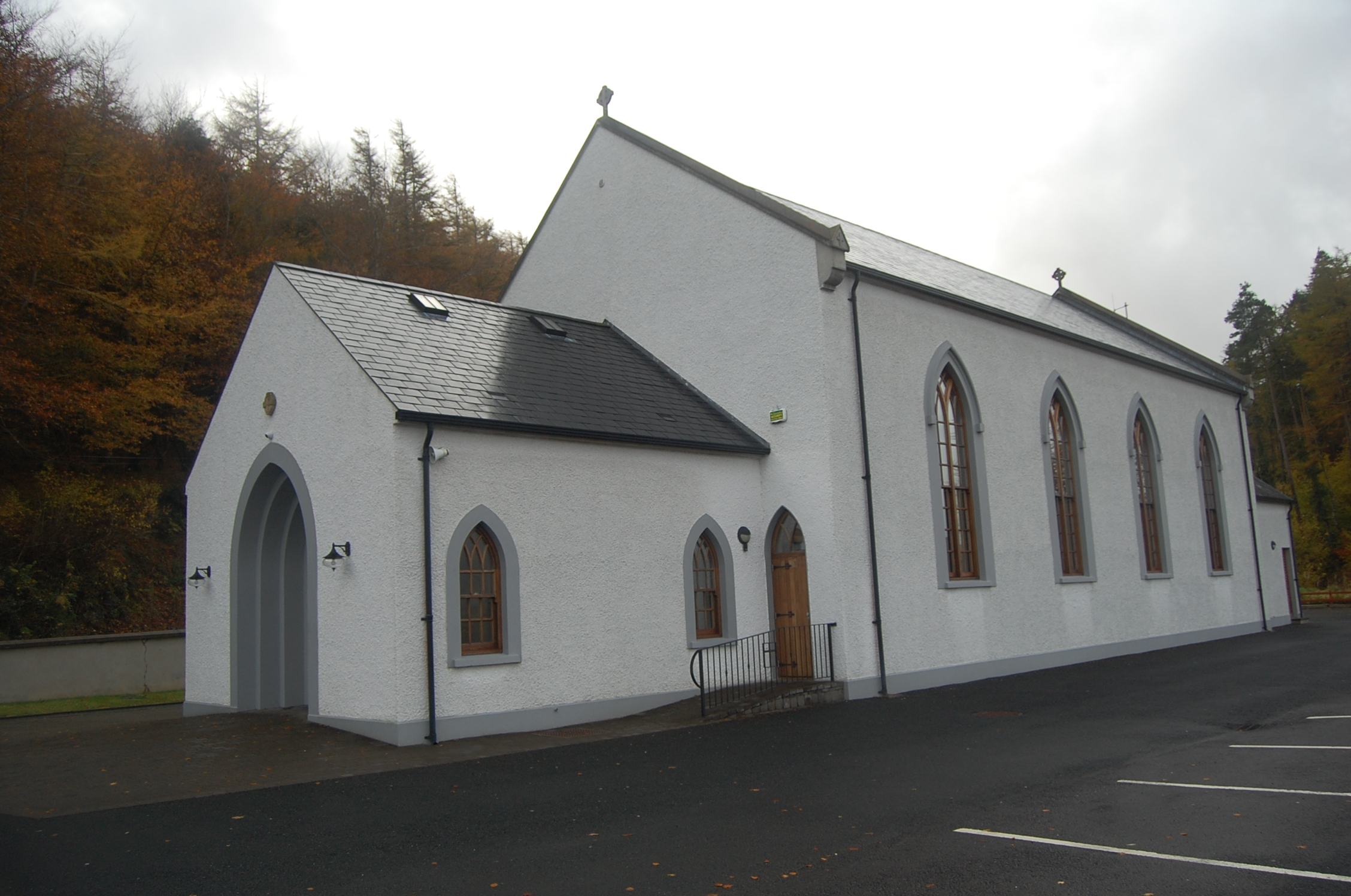
Freestanding Catholic church, built c.1830, having four-bay nave, gabled porch of c.1850, sacristy to northeast and later gabled sacristy and boiler house to southwest. Renovated c.2005. Pitched replacement slate roof on eaves course, having rendered copings and kneeler stones, cross finials to apex, and cast-iron rainwater goods. Pitched replacement slate roof to projections, sacristy having roughcast-rendered chimneystack. Roughcast-rendered and painted walls with smooth plinth course. Pointed-arch openings with raised render surrounds, hood-mouldings, concrete sills and replacement double-light Y-tracery six-over-eight pane timber sliding sash windows; similar single three-over-six pane windows to projections. Double-leaf replacement timber battened door to porch with traceried fanlight, within recessed pointed-arch raised render surround, having small Celtic cross plaque inscribed '1851 St Colmcille's 2005'. Interior has timber board ceiling, exposed timber queen-post roof, timber pews, grey marble altar, timber panelled balustrade to gallery and carved Stations of the Cross. Rendered boundary wall to southeast with concrete coping, replacement square-plan rubble piers and decorative cast-iron gate with shamrock emblems. Set on elevated site, with Marian grotto to northwest and car park to east.
This official record and map point do not grant access. Most recorded buildings are privately owned; view them only from public ground unless the owner allows entry.