Add your own picture and explain the route, parking, gates, paths or landmarks that help people find it.
Earn 5 points after the picture is checked and accepted.
Add your photo and local directionsShare what you foundWhat is recorded here
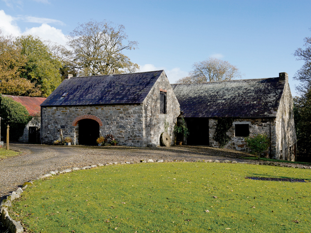
Detached nine-bay two-storey former planter's house with attic storey, built c.1620, with two-storey extension of c.1890 to rear. Built on on sloping site. Pitched natural slate roof with low chimneystacks to gable ends. Partly rendered rubble stone walls. Square-headed window and door openings with timber fittings. Later converted to watermill and later again to diesel power. Building contains generator and mill workings. Single-storey outbuilding attached to up-slope long wall, having pitched natural slate roof with low chimneystack, rubble stone walls, red brick elliptical-arch vehicular opening to up-slope long wall and square-headed pitching door to one upper gable. Millstone stands at same gable.
This official record and map point do not grant access. Most recorded buildings are privately owned; view them only from public ground unless the owner allows entry.