Add your own picture and explain the route, parking, gates, paths or landmarks that help people find it.
Earn 5 points after the picture is checked and accepted.
Add your photo and local directionsShare what you foundWhat is recorded here
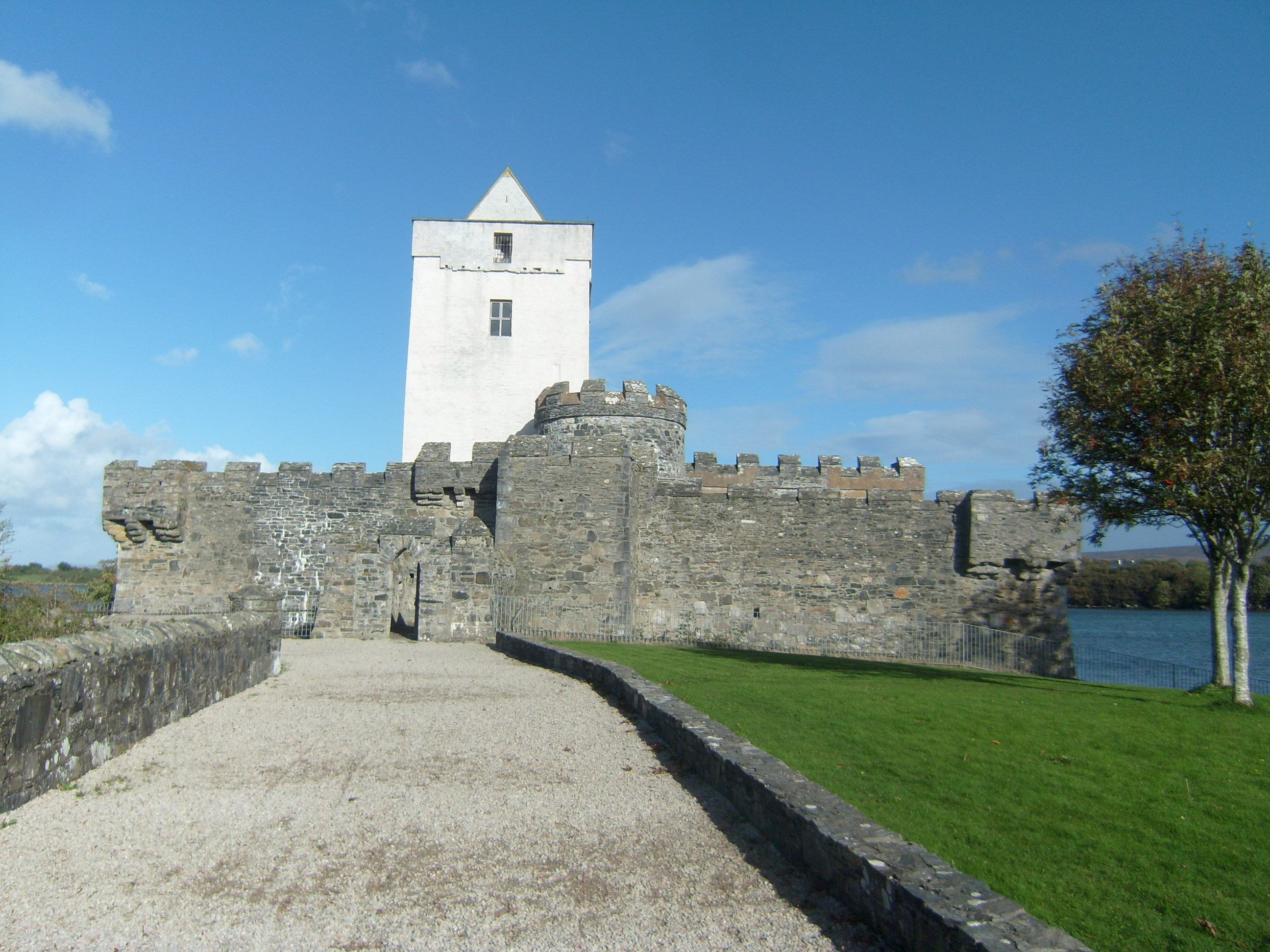
Tower house and bawn, built in early sixteenth century, comprising moat and irregular bawn enclosing four-storey tower house with attic and two-stage casemate, altered c.1820 with addition of barbican to west, three-stage outer round-plan tower to northeast of bawn, round-plan tower of c.1820 to west of tower house, and remains of two two-storey buildings to east of tower house. Now ruinous and in care of Office of Public Works. Pitched slate roof to tower house with raised parapets having flat rendered copings and rendered chimneystack. Roughcast rendered walls with square-headed openings throughout, comprising loops and pair of trefoil-headed windows within square-headed opening to west at first floor level, and round-headed opening to south. Stone corbelled roof to casemate with remains of render to rubble stone walls, having loops to north and east. Rubble stone barbican to west with splayed sills to square-headed openings. Round tower to west of tower house has raised and crenellated parapet and loops throughout. Three-bay two-storey facade to east of tower house with crenellated parapet, square-headed window openings and central round-headed doorway with initials 'CVH' and coat of arms over doorway. Three-bay two-storey facade to south with large round-headed openings to first floor. Rubble stone bawn wall with crenellated parapet, corner bartizans and incorporating two-stage round tower of c.1820 to northeast, with machicolation and crenellated parapet, having loops throughout. Pointed-arch opening to west with machicolation over, and lancet opening to east. Remains of ravelin of c.1780 in rubble and earth to east. Overlooks Sheephaven Bay to north, south and east, with graveyard to southwest where MacSuibhne (MacSweeny) chieftains were buried.
This official record and map point do not grant access. Most recorded buildings are privately owned; view them only from public ground unless the owner allows entry.