Add your own picture and explain the route, parking, gates, paths or landmarks that help people find it.
Earn 5 points after the picture is checked and accepted.
Add your photo and local directionsShare what you foundWhat is recorded here
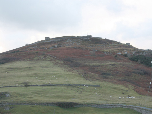
Military coastal battery and redoubt complex on polygonal seven sided-plan, built c. 1895-97, now out of use; part of military museum. Battered reinforced concrete curtain\scarp walls with external ditch surrounding summit of Dunree Hill. Metal railings to curtain wall in places. External section of boundary wall to the west and north of inner fort \redoubt having gun emplacements (on circular-plan) on raised concrete terrepleins. Vaulted subterranean chambers to site; including sunken magazines with pulley mechanisms adjacent to former gun emplacements. Chambers built into side of boundary walls to west and north of site having vaulted roofs covered in earth. Redoubt entered from north-west through two-storey blockhouse having brick walls to internal face at ground floor level and cement rendered brick walls, square-headed window and door openings to interior face at first floor level, square-headed window openings with remains of six-over-six pane timber sliding sash windows and with iron security bars to ground floor (external) and square-headed door opening with heavy metal double-doors; concrete stairways within giving access to redoubt having metal railings. Single-storey concrete lookout points\pillboxes (on canted-plan) to angles of curtain wall of redoubt having flat concrete roofs with remains of metal railings and parapet walls, reinforced concrete walls, square-headed window and door openings to interior face, and small square-headed gun embrasures and look-outs to external faces; sloping concrete coping to external faces beneath openings. Ruinous single-storey corrugated-metal clad buildings to north of site; ruinous single-storey building to site having flat concrete roof, cement rendered walls, and square-headed openings; now derelict. Single-storey store to site having flat concrete roof, red brick walls, and square-headed openings. Sunken water tanks to site. Pathways with intermittent flights of concrete steps approaches site from former barracks complexes (see 40901824) to the west of site. Located on Dunree Hill at Dunree Head peninsula to east bank of Lough Swilly. Earlier fort (see 40901813) to the west.
This official record and map point do not grant access. Most recorded buildings are privately owned; view them only from public ground unless the owner allows entry.