Add your own picture and explain the route, parking, gates, paths or landmarks that help people find it.
Earn 5 points after the picture is checked and accepted.
Add your photo and local directionsShare what you foundWhat is recorded here
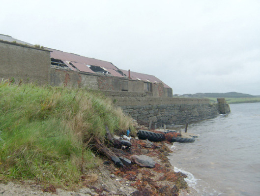
Pier\jetty, erected c. 1880, having randomly coursed rubble stone walls slight batter to base. Later added rendered block wall to parapet to east. Flight of cut stone steps from deck to sea level to the north-east and rubble stone slipway to the east side of pier. Collection of single-storey outbuildings to the south side of pier, built c. 1900 and extended to the south c. 1930, having rendered red brick walls, pitched corrugated-metal roofs, and square-headed openings. Pier located to the south side of Mulroy Bay and to the east of Carrickart. Mulroy House (see 40901712) to the south.
This official record and map point do not grant access. Most recorded buildings are privately owned; view them only from public ground unless the owner allows entry.