Add your own picture and explain the route, parking, gates, paths or landmarks that help people find it.
Earn 5 points after the picture is checked and accepted.
Add your photo and local directionsShare what you foundWhat is recorded here
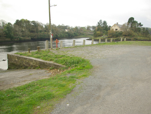
Pier and quay on roughly rectangular-plan, built c. 1775 and altered c. 1835 and 1880. Possibly containing pre-1700 fabric. Modified with concrete rendered slipways (modern?) to the north and to the south-east. Constructed of coursed and roughly squared rubble stone masonry having cut stone coping (with cement repairs) to the margins. Rubble stone paving to deck. Flight of cut stone steps to the south having modern metal railing. Timber retaining supports attached to the south elevation. Carved timber bollard/mooring post to the south-west corner, cast-iron bollards/mooring posts to the south elevation. Metal ringlets/link chains to slipways. Located at the mouth of the Rover Erne, facing Inis Samer Island to the south-west, and to the west of Ballyshannon town centre.
This official record and map point do not grant access. Most recorded buildings are privately owned; view them only from public ground unless the owner allows entry.