Add your own picture and explain the route, parking, gates, paths or landmarks that help people find it.
Earn 5 points after the picture is checked and accepted.
Add your photo and local directionsShare what you foundWhat is recorded here
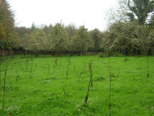
Walled garden complex associated with The Hall (see 40847025), erected c. 1780, divided into two separate units by wall. Remains of former glasshouses and rubble stone sheds/outbuildings on rectangular-plan to garden to the west. Now out of use and inaccessible in places. Orchard to garden to the west; largely overgrown to the garden to the east. Surrounded by rubble stone boundary walls having rubble stone buttresses to exterior faces along sections, and brick-lined to interior to garden to the west. Square- and segmental-headed door openings having timber batten doors and remains of timber battened doors. Structure on circular-plan built into exterior wall of site (inaccessible). Rendered rubble stone walls to former outbuildings and glass-houses having square-headed openings and remains of lean-to roofs, now collapsed. Located to the north/north-west of The Hall, in extensive mature demesne parkland grounds, and to the south of Mountcharles.
This official record and map point do not grant access. Most recorded buildings are privately owned; view them only from public ground unless the owner allows entry.