Add your own picture and explain the route, parking, gates, paths or landmarks that help people find it.
Earn 5 points after the picture is checked and accepted.
Add your photo and local directionsShare what you foundWhat is recorded here
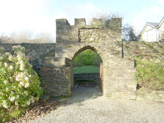
Ornamental walled garden on irregular circular-plan associated with Woodhill (altered\rebuilt and not in survey), laid out c. 1780. Rubble stone boundary walls to site with modern repairs in places. Raised platform\bedding (on circular-plan) to interior having four flagstone pathways (north, south, east and west) meeting to centre; rubble stone coping to platform. Flight of stone steps at start of each pathway. Mature trees to site. Integral pedestrian arch-way to the west comprising a pointed-arch doorway with rubble stone voussoirs and wrought-iron flat bar gate; gateway built into section of rubble stone walling with crenellated rubble stone parapet over. Rectangular recess over gateway, formerly with crest of the Nesbitt family (now in house); stepped rubble stone piers flanking gateway. Set adjacent to west of Woodhill (not in survey) with altered former two-storey coach house abutting to the south. Remains of former kitchen garden to the east of house having partial remains of rubble stone boundary walls. Located in the rural countryside to the east of Ardara town centre.
This official record and map point do not grant access. Most recorded buildings are privately owned; view them only from public ground unless the owner allows entry.