Add your own picture and explain the route, parking, gates, paths or landmarks that help people find it.
Earn 5 points after the picture is checked and accepted.
Add your photo and local directionsShare what you foundWhat is recorded here
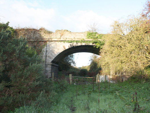
Single-arch bridge carrying small road over the former Dundalk Barrack Street to Derry Foyle Road railway line, built c. 1847. Now out of use following closure of rail line in 1965. Segmental-headed arch having ashlar granite voussoirs with chamfered edging, and with brick construction to arch barrel. Chamfered ashlar stringcourse running through arch barrel at arch springing point. Squared and randomly coursed rubble limestone construction to spandrels, abutments, and parapets; ashlar granite quoins with chamfered edging to corners of abutments. Ashlar granite stringcourse at deck level. Battered piers to either side of arches having squared and randomly coursed rubble limestone construction and ashlar granite quoins to the corners. Located to the south-east of Carrigans, adjacent to the River Foyle.
This official record and map point do not grant access. Most recorded buildings are privately owned; view them only from public ground unless the owner allows entry.