Add your own picture and explain the route, parking, gates, paths or landmarks that help people find it.
Earn 5 points after the picture is checked and accepted.
Add your photo and local directionsShare what you foundWhat is recorded here
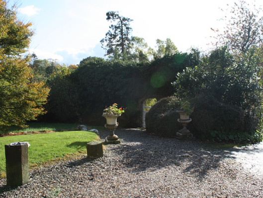
Walled garden complex on sub-rectangular plan associated with Dunmore House (see 4082803), erected c. 1800. Still maintained and cultivated with modern gardens and mature trees etc. to site. Rubble stone boundary walls having brick lining to internal walls to the south and east boundaries. Roughcast rendered walls in places, render coping in places. Two three-centre-headed carriage-arch entrance openings to north wall, one with modern double-gates with brick surrounds, and with painted family crest of the McClintocks over; the other with brick voussoirs, concrete reveals and wrought-iron flat-bar gate. Pedestrian gateway to the south boundary having decorative wrought- and cast-iron gate, addressed by rubble stone step. Pond to site, tennis court to the south-east corner of site. Twentieth-century summer house and glasshouses to site; rubble stone outbuilding at the central entrance to the walled garden (blocked) now in used as a bothy. Rose pergolas to site. Collection of sundials to site (see 40828012), created c. 1935-6. Seed beds to the north of site. Located to south-east of Dunmore House, and to the north-east of Carrigans.
This official record and map point do not grant access. Most recorded buildings are privately owned; view them only from public ground unless the owner allows entry.