Add your own picture and explain the route, parking, gates, paths or landmarks that help people find it.
Earn 5 points after the picture is checked and accepted.
Add your photo and local directionsShare what you foundWhat is recorded here
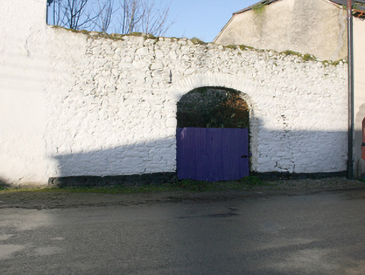
Section of rubble stone boundary wall, erected c. 1830 and possible containing earlier fabric, having integral segmental carriage-arch. Yard to the rear (west) formerly in use as a market place c. 1835 (Ordnance Survey first edition six-inch map). Roughly squared rubble stone voussoirs and corrugated-metal gate to carriage-arch. Located to the north of a pair of three-storey buildings (see 40800416) and to the south of two-storey former warehouse\store (see 40800417). Road-fronted to the north-east of the centre of Ramelton. Located adjacent to the east of the site former castle and bawn (see RMP DG046-005001-), now demolished.
This official record and map point do not grant access. Most recorded buildings are privately owned; view them only from public ground unless the owner allows entry.