Add your own picture and explain the route, parking, gates, paths or landmarks that help people find it.
Earn 5 points after the picture is checked and accepted.
Add your photo and local directionsShare what you foundWhat is recorded here
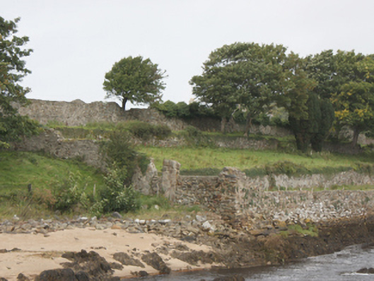
Three-tiered former terraced garden on rectangular-plan associated with Buncrana Castle (see 40815001), erected c. 1720, sloping from west to east towards the western bank of the Crana River. Comprises a series of terraces with dry stone rubble stone retaining walls, and with various sections of cut stone steps. Now out of use. Mature trees to site. Former walled garden (on irregular-plan) adjacent to the west, now out of use, having rubble stone boundary walls with brick lining to interior in places. Site enclosed by rubble stone boundary walls. Gateways to site having rubble stone gate piers (on square-plan). Built on sloping embankment to west side of River Crana at the entrance to Lough Swilly Estuary. Sited adjacent to the south-east of Buncrana Castle, and to the north-west of Buncrana town centre.
This official record and map point do not grant access. Most recorded buildings are privately owned; view them only from public ground unless the owner allows entry.