Add your own picture and explain the route, parking, gates, paths or landmarks that help people find it.
Earn 5 points after the picture is checked and accepted.
Add your photo and local directionsShare what you foundWhat is recorded here
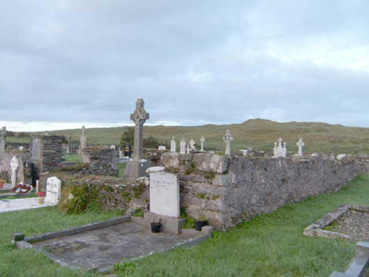
Ruins of former hall-type Catholic church\chapel, built c. 1807, on rectangular-plan. Now largely demolished. Rubble stone walls with remnants of lime render over; flush roughly dressed block-and-start quoins to the surviving corners. Graveyard (on rectangular-plan) to site having rubble stone boundary wall with rubble stone coping over; cement coping and timber fence over boundary wall to the south-west corner of site. Collection of gravemarkers to site of mainly upstanding type dating from the early-nineteenth century until the late twentieth-century. Gravemarkers to interior of former church. Gateway to the south comprising a pair of rubble stone gate piers (on square-plan) having modern metal gate. Located to the north-west of St. John the Baptist’s Catholic church (see 40808003) and associated parochial house (see 40808007), and to the south-west of Carrickart. Modern graveyard located to the east of current church.
This official record and map point do not grant access. Most recorded buildings are privately owned; view them only from public ground unless the owner allows entry.