Add your own picture and explain the route, parking, gates, paths or landmarks that help people find it.
Earn 5 points after the picture is checked and accepted.
Add your photo and local directionsShare what you foundWhat is recorded here
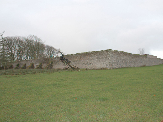
Walled garden (on rectangular-plan) associated with Malin Hall (see 40801015), built\laid-out c. 1758. Now partially in use as farmyard with modern farm buildings to the west of complex, and with walls to the west and south-west now demolished. Limestone rubble stone boundary walls (bonded with lime mortar) having large surviving cut limestone coping over in places; walls faced internally red brick lining (stretcher bond and English garden bond). Series of rubble stone retaining buttresses to the exterior of wall to the east\south-east. Integral segmental-headed pedestrian door opening to centre of east facing wall. Series of modern lean-to farm buildings built against the interior of northern boundary. Located to the north\north-east of the Malin Hall in shared grounds, and to the north-west of Malin.
This official record and map point do not grant access. Most recorded buildings are privately owned; view them only from public ground unless the owner allows entry.