Add your own picture and explain the route, parking, gates, paths or landmarks that help people find it.
Earn 5 points after the picture is checked and accepted.
Add your photo and local directionsShare what you foundWhat is recorded here
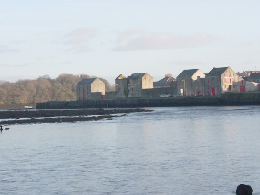
Two sections of quayside walling lining the southern bank of the Leannan River, built c. 1800 and c. 1860, comprising section to the west running from Rathmelton Bridge (see 40800206) to former fish packing warehouse (see 40800203) along the north side of The Mall and section to the north-east along Shore Road and Ramelton Quay, erected c. 1860. Quay walls constructed of rubble stone masonry, battered in places, with rendered coping over; some surviving sections of rubble sandstone coping\kerbing to edging. Low rubble stone plinth wall to edging over section to the west along The Mall having rubble stone coping, cast-iron posts, and wrought-iron railing over (railings and posts c. 1860); modern cement repairs in places. Surviving sections of rubble stone wall to the south aligning Mall; mature trees in places. Low rubble stone plinth wall to edging over section to the west along Shore Road having rendered coping over. No plinth walling to the north-east end of section to the north-east with rubble stone and rendered rubble stone coping\kerbing to waters’ edge; some modern concrete sections to quay. Flights of cut stone steps to the north-east section. Some surviving cut stone bollards (on circular-plan) to the north-east; cast-iron bollards (on circular plan) to the north-east having domed caps with foundry mark 'George Green & Co. Londonderry Engineers & Boiler Makers'. Slipway to the east side of former fish packing warehouse having rendered coping over sandstone kerbing to north edge, cobbled surface running down to water from the west to the east, and with rubble stone retaining walls to the south and the north-west corner having rendered bullnose coping over. Cast-iron weighing scales adjacent to the south of slipway having decorative spandrels. Rubble stone plinth wall with soldier coping over to section to the extreme north-east having modern concrete slipway to the west end with modern guard rails over; concrete quayside adjacent to the east. Located along the south bank of River Leannan to the west, north and north-east of the centre of Ramelton.
This official record and map point do not grant access. Most recorded buildings are privately owned; view them only from public ground unless the owner allows entry.