Add your own picture and explain the route, parking, gates, paths or landmarks that help people find it.
Earn 5 points after the picture is checked and accepted.
Add your photo and local directionsShare what you foundWhat is recorded here
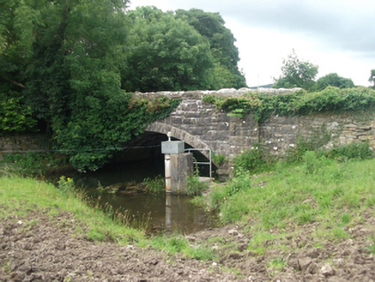
Single-span limestone road bridge, built c.1870, spanning Upper Inny River, and incorporating remains of earlier bridge. Random-coursed squared and snecked rock-faced spandrels, parapet and coping. Regular rock-faced voussoirs to arch ring with dressed underside and arris, squared rubble barrel on large squared-rubble abutments with impost course and skewback. Flanked by single buttres slanting to base to north-east. Partially-rendered wall to north-east from earlier bridge with segmental arch having irregular limestone voussoirs.
This official record and map point do not grant access. Most recorded buildings are privately owned; view them only from public ground unless the owner allows entry.