Add your own picture and explain the route, parking, gates, paths or landmarks that help people find it.
Earn 5 points after the picture is checked and accepted.
Add your photo and local directionsShare what you foundWhat is recorded here
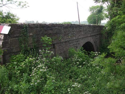
Single-span segmental-arched limestone road bridge, built c.1820, spanning north-west to south-east over the River Erne. Squared and coursed rubble spandrels and parapet having roughly rounded shoulders. Flush arch ring of dressed voussoirs rising from rounded cutwaters flanked by dressed buttresses slanting to underside of dressed string course extending across full length of bridge at apex of arch. Associated coursed rubble limestone wall with cement pointing to north-west .
This official record and map point do not grant access. Most recorded buildings are privately owned; view them only from public ground unless the owner allows entry.