Add your own picture and explain the route, parking, gates, paths or landmarks that help people find it.
Earn 5 points after the picture is checked and accepted.
Add your photo and local directionsShare what you foundWhat is recorded here
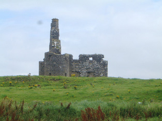
Detached three-bay two-storey stone fortified house, built c. 1650, now ruinous. Rectangular on plan with circular towers to north-west and south-west corners. Traces of steeply-pitched roof on west gable, rubble stone chimneystack on west gable with two diagonally-set cans. Rubble stone walls, east wall missing. Square-headed window openings, rubble stone voussoirs to flat arches. Square-headed door opening with rubble stone voussoirs to flat arch. Floors missing from interior, massive chimney breast on west gable. On elevated site surrounded by farmland and overlooking Killala Bay to west.
This official record and map point do not grant access. Most recorded buildings are privately owned; view them only from public ground unless the owner allows entry.